Making roads safer in Finland with SICK LiDAR scanners and Roadscanners
There are about 51,500 kilometers of asphalted roads in Finland. Around 8,000 kilometers of these roads were in poor condition at the end of 2022. Using measurement and analysis technology for roads and paths developed by Roadscanners, the underlying causes of the damage can be determined. This enables preventive measures to be initiated to reduce the costs in the life cycle of a road.
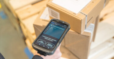
Software and devices from Roadscanners
Roadscanners is a global company providing software and measurement equipment for managing and maintaining traffic infrastructure. It focuses on the monitoring and analysis of the condition of roads, paths, bridges, and airports. The method employed by Roadscanners has proven efficient in the inspection of road networks in small municipalities and larger road networks covering thousands of kilometers. The bigger the road network, the greater the potential savings.
The RDLS Grid technology used is also employed for laser scanning of power lines from helicopters to avoid storm damage. It enables areas to be identified where trees or vegetation need to be removed to avoid storm damage from falling trees.
Using LiDAR Sensors for Road Analysis
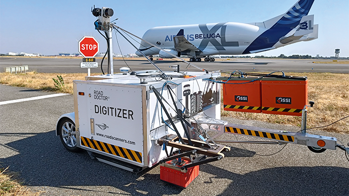
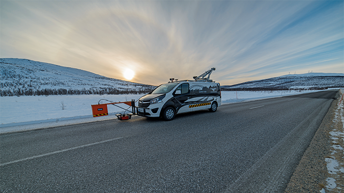
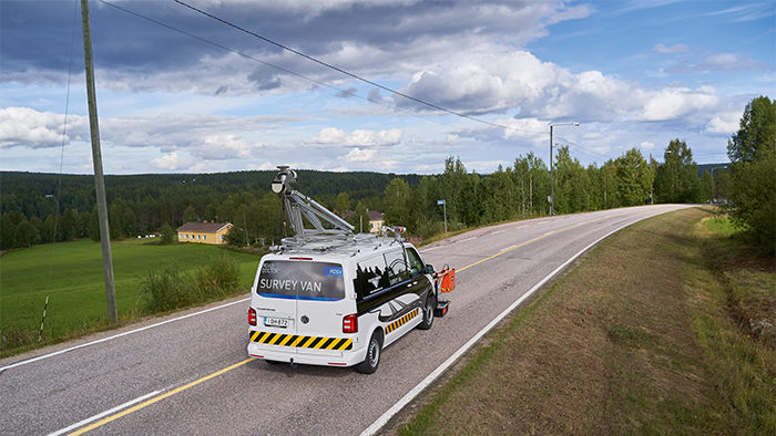
The research and analysis technologies used by Roadscanners include video, ground radars, laser scanners, thermal imaging cameras, and accelerometers. The ground radar can penetrate up to three meters under the road surface. The road surface above the ground, including the embankment, is analyzed using a laser scanner.
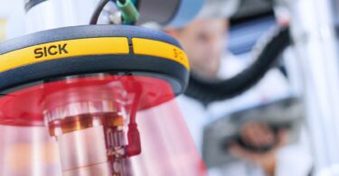
The laser scanner used by Roadscanners is a LMS5xx 2D LiDAR sensor from SICK. Currently, either one or two simultaneously operating laser scanners are used in the vehicles depending on the measurement requirements. The speed of the measurement vehicle is about 30–80 km/h.
The rugged 2D LiDAR sensors are ideally suited for this application because it is very easy to integrate the software into the device. Jani Irvankoski from Roadscanners remembers that his first coding task 13 years ago was to integrate a laser scanner from SICK – to this day he cannot recall any device failures occurring. The collaboration with SICK has proven very successful, and the responsible sales manager Villa Sarviaho is on site to present the trends and new product developments.
Responding before the damage is even visible
The most common and greatest risk factor for damage to the road surface is water. When the subgrade is wet, the load bearing capacity of the road is reduced and it is more susceptible to damage. The snow walls on the side of the road in winter, for example, should be cleared in a timely manner to ensure water does not penetrate into the road subsurface when it melts.
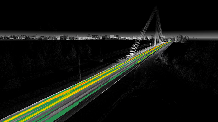
The measurements of the roads and road surroundings using 2D LiDAR sensors were carried out in spring before the roadside ditches are covered in vegetation, which would make it more difficult to take precise measurements of the depth of the ditches.
A further advantage of precision laser scanning is its repeatability, which makes it possible to monitor groove formation and the condition of the ditch bottom through repeated measurements, for example from year to year. Changes can then be responded to in a timely manner before serious damage to the road occurs. The repairs are then also less costly as a rule.
An eye on the changing seasons with LiDAR sensors
The change of seasons and the freeze-thaw cycles are some of the most important factors that affect the condition of the roads in cold regions. 60–80% of road damage occurs in the spring when the road is most susceptible. Typical structural problems are caused by heavy traffic on road sections with a thin pavement and poor subgrade. Maintenance defects can generally be attributed to defective draining and inadequate winter road clearance.